Import geo-zones
If you already have your customers or routes in another program, export them as a GPX or KML file and import them all at once. Each track, area or point in the file becomes one geo-zone. To draw one geo-zone, see Geo-zones.
Click Geo-zones in the top menu.
Click New and choose Import from file.
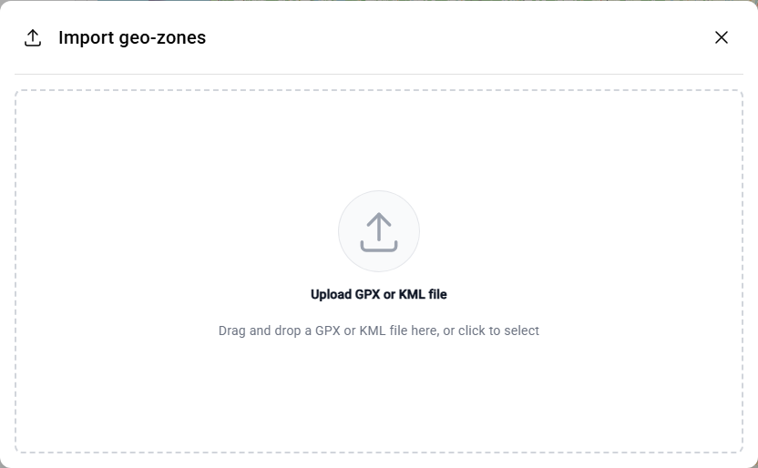
Drop the file into the window, or click the window to choose it.
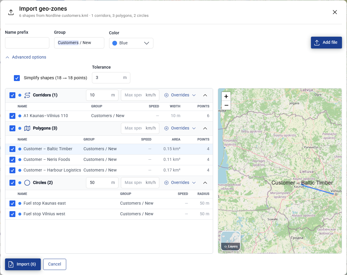
Fliteca sorts the shapes into Corridors, Polygons and Circles and shows them on the small map. Set what they have in common at the top:
Name prefix – text added in front of every name, for example “Customer – “.
Group – the group for all of them, for example
Customers / New.Color – the color on the map.
Set the width of the corridors and the radius of the circles. Add a Max speed if you need one. Click Overrides to give one shape type its own name prefix, group or color.
Untick the shapes that you do not want. If a geo-zone with the same name already exists, Fliteca warns you next to the name.
Click Import (6). The number is how many shapes are ticked.
Tip
Advanced options › Simplify shapes removes points that are closer together than the tolerance. Shapes from a GPS track often have thousands of points. Fewer points make the map faster. Click Add file to import from more than one file at once.